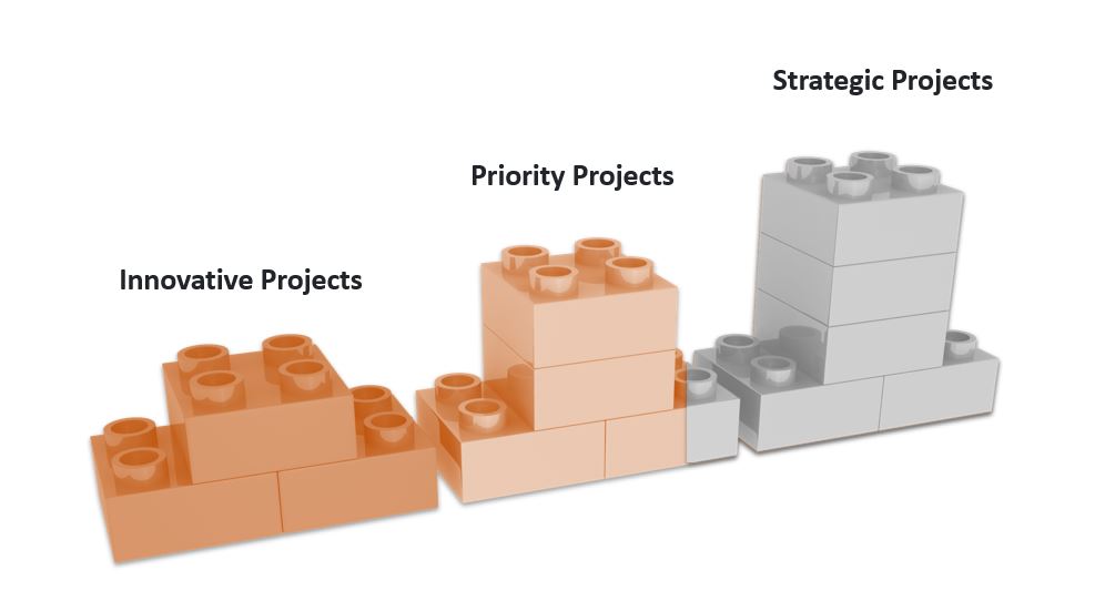
The Federal Geographic Information Center operates according to an approved strategic plan for the years 2023 to 2026, which is based on three main axes (the governance, the spatial infrastructure , and the spatial awareness and knowledge). The plan includes three main strategic goals and a number of national initiatives that aim to improve the geospatial information sector, at the national level. The center implements the approved strategic plan in coordination and cooperation with the various concerned authorities in the country.
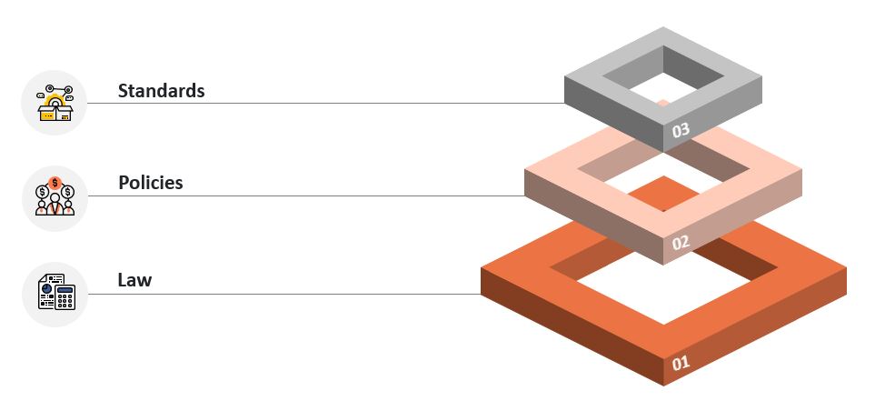
Developing the regulatory enviornment for Geospatial Information in the country


Create the laws for geospatial information sector.

Preparing geospatial information policies and legislation.

Establish unified standards and specifications for geospatial information.
Establishing and developing the geospatial information infrastructure system


Issuing official maps of the UAE.
Establishing a system of permits and licenses for geospatial information.
Create and update national basemaps.

Creation of the National Geodetic Reference.
Standardization of the national address of the UAE.

Establishing the smart national platform for geospatial information.
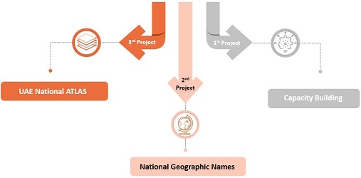
Raising awareness and spatial knowledge


Spatial capacity building in the country.

National Glossary of State Geographic Names.

Smart National Atlas of the UAE.