الصور الفضائية والجوية
خدمة وطنية رقمية لتوفير الصور الفضائية.
الصور الفضائية والجوية
خدمة رقمية يتم من خلالها توفير الصور الفضائية المنتجة والمجمعة من مصادر مختلفة بهدف دعم مختلف القطاعات الحيوية.
استعراض
إطلاق الورشة التعريفية لمشروع المرجع الجيوديسي الوطني الموحد لدولة الإمارات
إطلاق مبادرة الصور الفضائية العالية الدقة للدولة
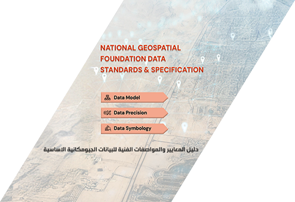
اطلاق دليل المعايير والمواصفات الفنية للمعلومات الجيومكانية الأساسية
إطلاق الخريطة العامة لدولة الإمارات العربية المتحدة


البدء بتنفيذ مبادرات الخطة الاسترتيجية
إطلاق المشاريع (أطلس الإتحاد والفهرس الوطني)
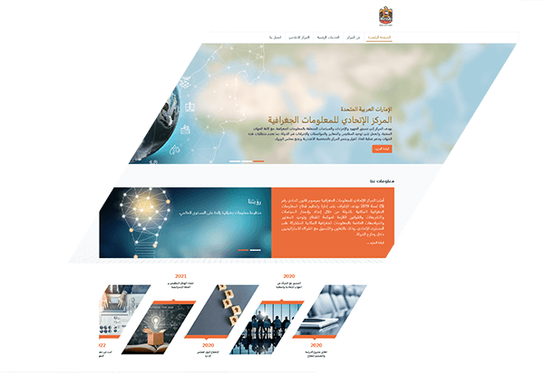
اطلاق الموقع الالكتروني للمركز
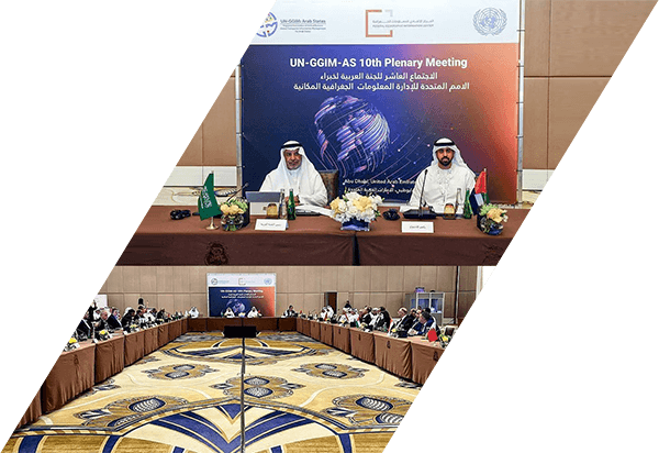
استضافة اجتماع اللجنة العربية

البدء في تنفيذ المشاريع التحولية
اعتماد الهيكل التنظيمي و الخطة الاستراتيجية


الاجتماع الاول لمجلس الادارة
التنسيق مع الشركاء من الجهات الاتحادية والمحلية


اطلاق مشروع الدراسة والتصميم للقطاع
تشكيل فريق التأسيس


إصدار مرسوم التأسيس
نموذج رقمي موحد يحدد تعريفاً ورمزاً موحداً لكل معلم من المعالم الجغرافية المكانية المشتركة على المستوى الوطني من خلال دراسة النماذج المستخدمة في الجهات المحلية والإتحادية في الدولة
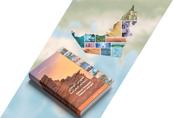
استعراضحزمة إضاءات على مسيرة النجاح ورحلة في سلسلة الإنجازات التي حققتها دولة الإمارات عبر الزمان والمكان المستندة إلى البيانات الموثوقة والمؤشرات العالمية، مدعماً بأحدث التقنيات الجغرافية المكانية تغطي (13) قطاع من القطاعات الحيوية الأساسية، ليشكل مرجعاً يُستنير به الباحثين والمهتمين من مختلف فئات المجتمع
استعراضخدمة وطنية رقمية لتوفير الصور الفضائية.
خدمة رقمية يتم من خلالها توفير الصور الفضائية المنتجة والمجمعة من مصادر مختلفة بهدف دعم مختلف القطاعات الحيوية.
استعراضتوحيد ودمج الشبكات الجيوديسية المعمول بها في امارات الدولة ضمن مرجع جيوديسي موحد على المستوى الوطني.
إنشاء وإدامة مرجع جيوديسي وطني يكون المرجع الرسمي الموحد للدولة وذلك من خلال التعاون والتنسيق مع الجهات المعنية بالمراجع الجيوديسية المحلية. وسيتم تطويره ليتكامل مع الإطار العالمي للجيوديسيا مما سيعزز التحول الرقمي للدولة ويمكِن من تبني التطبيقات الحديثة مثل استخدام السيارت والاليات الذاتية الحركة والطائرات بدون طيار.
استعراضمنصة وطنية جيومكانية تسهل من عملية الوصول والحصول على المعلومات الجغرافية الاساسية وفق افضل المعايير العالمية.
منصة وطنية متكاملة وشاملة للمعلومات الجغرافية المكانية الأساسية ترتبط عبر أنظمة مختلفة وحسب الصلاحيات مع مختلف الجهات المعنية في الدولة بحيث يتمكن كافة المستخدمين من الوصول بسهولة و بسرعة اكبر لأدق وأحدث البيانات المكانية وفق أفضل المعايير العالمية.
استعراضإنتاج وتوفير الخرائط الرسمية للدولة بمختلف أنواعها (الخرائط العامة و الطبوغرافية والجوية والبحرية).
يقوم المركز من خلال هذه المبادرة وبالتعاون مع الجهات المعنية بتصميم ونشر الخرائط الرسمية للدولة بمختلف انواعها وباللغتين العربية والانجليزية وذلك باستخدام أدق وأحدث البيانات الجغرافية المتوفرة لدى الشركاء.
استعراض
من كل عام ، يحتفل الثاني من ديسمبر بتوحيد دولة الإمارات العربية المتحدة. ومع ذلك ، فإن عام 2021 يمثل لحظة خاصة بشكل خاص ، حيث يصادف مرور 50 عامًا على تأسيس البلاد في عام 1971.


